Autumn Series
Autumn Series | Round 2 Route Description
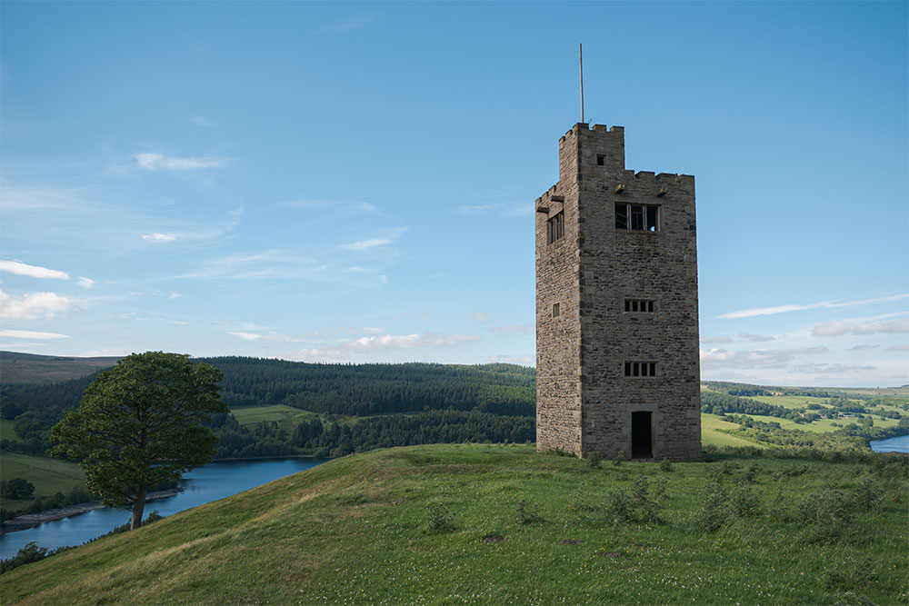
Bradfield, South Yorkshire
This is fourth edition of the Bradfield Trail Run, the course for 2022 event will be the same as when we last visited in September 2019, including the slightly longer than usual 8.2 km short course – a real ‘mini-me’ version of the long route!
Both runs have a bit of a tough start with a short, sharp 200m climb up a very steep narrow footpath with a set of steps (single file only). It will certainly get you warmed up quickly but don’t worry it is only short lived before you begin to circumnavigate Agden Reservoir initially on a tarmac lane before turning onto a lovely scenic Yorkshire Water footpath (watch out for slippery roots!). From there you join a sublime wide track through woodlands towards Agden House and as you pass by the Agden Bog Nature Reserve (2 km) the route begins to climb again, the gradient is manageable and isn’t too long at 1km. The second half of the climb is on the small country lane of Windy Bank.
From the top of the lane (3.2 km) it is straight down to Dale Dike reservoir via a bridleway through a number of fields which can become slippery and muddy at times. Dale Dike reservoir has history and it’s not good – the newly built dam failed in 1864 causing the Great Sheffield Flood with 244 fatalities, thankfully there’s been no problems since it was rebuilt properly!


When you reach the now very safe and secure dam wall we divert from our previous route and go clockwise around the reservoir; this begins with a drop down to the foot of the dam before climbing back up to the reservoir level via a number of steps. The reservoir footpath is brilliant trail running terrain but can become greasy at times so good grip trail shoes are a must. After 800 m the short route splits off (5.2 km) and begins a very steep but short climb (300 m) – running is certainly optional up here! The short route then rejoins the long route on Blindside Lane*.
Now it is virtually downhill all the way back to the finish in Low Bradfield. The first section of the descent is on a magnificent easy going wide bridleway with stunning views north, an instant reward for all your effort to get up here! At the end of the bridleway (the feed station point) you cross a small lane before a false flat section along the edge of a plantation brings you to another lane crossing close to Gibraltar Rocks. From there you drop quickly down through a field, which can get a bit muddy, before popping out onto Blindside Lane. 1.7km of easy downhill tarmac follows and 500m into this road section the *short route rejoins – the lane is very narrow in places so CARE! and please keep in single file and be prepared to stop. This will be familiar to anyone who knows the old route. At the end of the road section it is over a stile before you contour through a number of fields (care – can be muddy at times) before popping out on Plumpton Lane – a wide gravel track. You then continue to follow the old route down to School Bridge but instead of turning right for a loop of Damflask reservoir (as we did previously) you head over the bridge and back into the village with the very final section up through the memorial field (weather permitting) to finish just outside the village hall.
If you have never visited this area of the North Eastern Peak District before you are in for a real treat!